Based on Survey method,
the Topographic LiDAR Segment is Expected to Dominate the LiDAR Drones Market
Based on survey method, the global LiDAR drones market is segmented into topographic LiDAR and bathymetric LiDAR. In 2025, the topographic LiDAR segment is expected to account for the largest share of the market. In 2025, the topographic LiDAR segment is expected to account for the largest share of the market. The largest market share of this segment is attributed to the growing utilization of near-infrared laser beams for mapping land and buildings, increasing applications in military, civil engineering, and governments for determining the weather conditions, gathering information on the landmass, and in agriculture for crop growth. However, the bathymetric LiDAR segment is projected to register the highest CAGR during the forecast period.
Based on Type, the Rotary Drones Segment is Expected to Dominate the LiDAR Drones Market
Based on type, the global LiDAR drones market is segmented into wing and rotary drones. In 2025, the rotary drones segment is expected to account for the largest share of the market. The large share of this segment is attributed to rotary drones’ ability to have better control over position and framing for aerial photography and surveillance. Additionally, having more than one motor makes it capable of flying more closely to structures and buildings, increasing its operational efficiency and reducing inspection time. Rotary drones are widely used in various industries and applications, including aerial photography, surveying and mapping, search and rescue operations, and military and defense operations. They are typically small and agile, making them well-suited to fly in tight spaces and navigate challenging environments. However, the wing drones segment is projected to register the highest CAGR during the forecast period.
Based on Range,
the Tactical Range Segment is Expected to Dominate the LiDAR Drones Market
Based on range, the global LiDAR drones market is segmented into tactical range (up to 130 m), medium range (130m-230 m) and long range (more than 230m). In 2025, the tactical range segment is expected to account for the largest share of the LiDAR drone market. The large share of this segment is attributed to the growing need to enable safe unmanned aircraft operations by providing a reliable and cost-effective way to detect turbulence, wind shear, volcanic ash, supercooled liquid clouds with icing risks, and high ice water content clouds from unmanned aircraft in real-time. However, the long range segment is projected to register the highest CAGR during the forecast period.
Based on End-use Industry,
the Agriculture Segment is Expected to Dominate the LiDAR Drones Market
Based on end-use industry, the global LiDAR drones market is segmented into agriculture, archaeology, construction, power & utilities, mining, oil & gas, forestry, and other end users. In 2025, the agriculture segment is expected to account for the largest share of the LiDAR drones market. The largest share of this segment is attributed to the need for aerial imagery from drones for livestock management, rising demand for drone technology among farmers to make more accurate data-driven agriculture decisions, and a surge in need to minimizing soil erosion and improving plant health monitoring and irrigation.
In 2025, North America is Expected to Dominate the LiDAR Drones Market
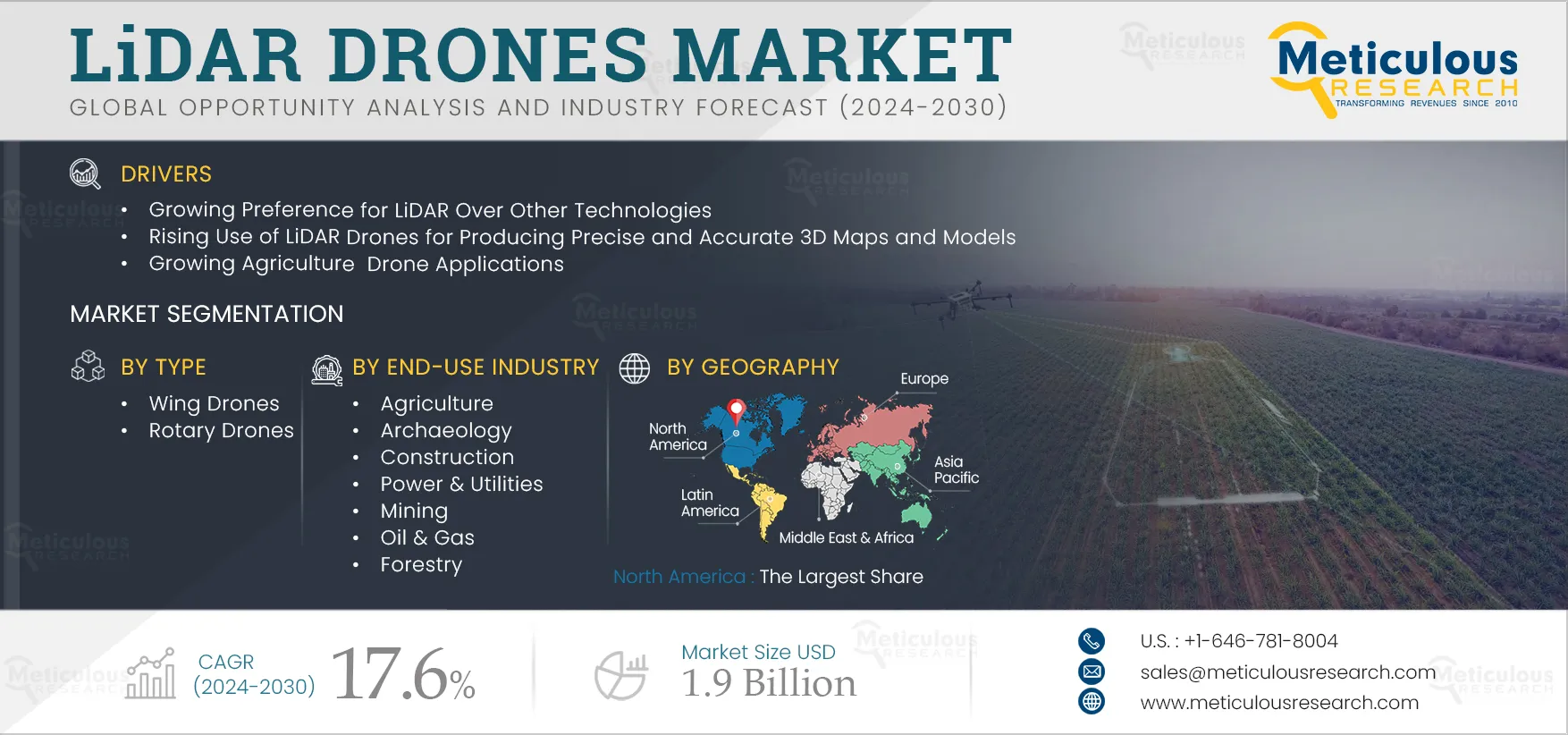
Based on geography, the global LiDAR drones market is segmented into North America, Europe, Asia-Pacific, Latin America, and the Middle East & Africa. In 2025, North America is expected to account for the largest share of the market. In North America, various initiatives are being undertaken to propel LiDAR drones adoption for safety and environmental application purposes, increasing investments by key players to enhance LiDAR drone-based geoscience data collection, mapping, data preservation, and scientific interpretation of areas with potential for critical minerals. LiDAR drones are used extensively in North America for various applications, including land surveying, infrastructure inspection, natural resource management, and environmental monitoring. However, Asia-Pacific is projected to register the highest CAGR during the forecast period.
Scope of the Report:
LiDAR Drones Market, by Survey Method
- Topographic LiDAR
- Bathymetric LiDAR
LiDAR Drones Market, by Type
- Wing Drones
- Fixed Wing Drones
- Fixed-Wing Hybrid VTOL
- Rotary Drones
- Single Rotor Drones
- Multi-rotor Drones
LiDAR Drones Market, by Range
- Tactical Range (Up to 130m)
- Medium Range (130 m to 230 m)
- Long-range (More than 230m)
LiDAR Drones Market, by End-use Industry
- Agriculture
- Crop Production
- Livestock Management
- Other Agriculture Applications
- Archaeology
- Short Site Surveying
- Long Site Surveying
- Other Archaeology Applications
- Construction
- Roadways
- Rail Corridors
- Airports
- Other Construction Applications
- Power & Utilities
- Powerplant Mapping & Inspection
- Substation Static Line Inspection
- Corridor Mapping
- Other Power & Utilities Applications
- Mining
- Ground Control Network
- Geological survey
- Other Mining Applications
- Oil & Gas
- Remote Monitoring and Surveillance
- Inspection and Predictive Maintenance
- Material Handling & Management
- Other Oil & Gas Applications
- Forestry
- Resource Management
- Conservation
- Other Forestry Applications
- Other End Users
LiDAR Drones Market, by Geography
- North America
- Asia-Pacific
- China
- Japan
- India
- South Korea
- Australia & New Zealand
- Rest of Asia-Pacific
- Europe
- Germany
- U.K.
- France
- Italy
- Spain
- Switzerland
- Netherlands
- Rest of Europe
- Latin America
- Middle East & Africa (MEA)
Key Questions Answered in the Report: