Geographic Information Systems Market in Agriculture by Offering, Application (Soil & Agricultural Mapping, Crop Monitoring, Yield Prediction, Livestock Monitoring), Sub-sector (Crop Farming, Forestry, Livestock) - Global Forecast to 2032
Geographical Analysis
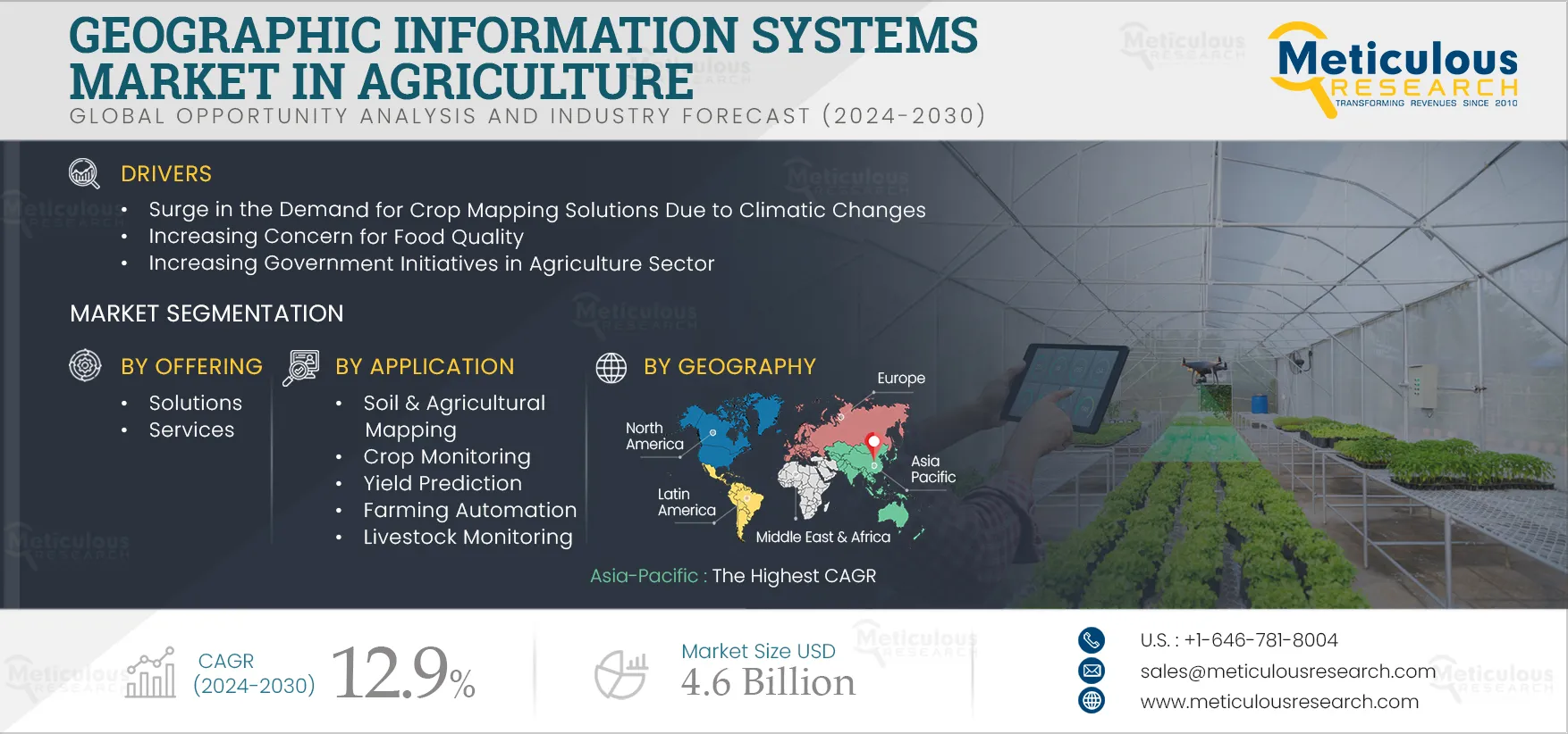
The climatic changes majorly impact the agriculture sector. The change in climate results in declining soil quality, temperature change may prevent crops from growing, and floods & droughts harm crops and reduce yields. Government and farmers rely on climate risk analytics and geographic information system (GIS) technology to prevent such situations. Thus, a geographic information system (GIS) is used to make precise decisions for weather monitoring and forecasting purposes. Thus, providing new opportunities for precision farming.
Agricultural sectors are leveraging precision agriculture technologies, including GIS, to obtain real-time insights for farmers. The geographic information system provides field data to farmers to make precise decisions regarding climate change, temperature, and soil conditions. Also, GIS is used to collect data regarding water availability, irrigation control, weather monitoring, crop monitoring, yield prediction, and livestock management. This data helps to improve decisions about harvesting times, crop market rate, and soil management. Thus, demand for GIS is increasing in the agriculture sector to predict climatic change and improve production.
In 2025, the Solutions Segment
is Expected to Dominate the Geographic Information Systems Market in Agriculture
Based on offering, in 2025, the solutions segment is expected to account for the largest share of the geographic information systems market in agriculture. The large market share of this segment is attributed to the rising demand for GIS software for better data analysis in agriculture and analyzing data and image processing for surveying purposes in agriculture.
The Livestock Monitoring Segment to Register the Highest CAGR During the Forecast Period
Based on application, the livestock monitoring segment is slated to register the highest CAGR during the forecast period. The increasing need for tracking animal movements in animal husbandry locations to monitor their health, growth, fertility, and nutrition are key driving factor promoting the segment's growth.
In 2025, the Crop Farming Segment
is Expected to Dominate the Geographic Information Systems Market in Agriculture
Based on sub-sector, in 2025, the crop farming segment is expected to account for the largest share of the geographic information systems market in agriculture. The large market share of this segment is attributed to the increasing use of data analytics to improve crop productivity, concern for food quality, and increasing demand for GIS solutions to track and visualize the growth and health of the crops.
The Asia-Pacific to Register the Highest CAGR During the Forecast Period
Based on geography, Asia-Pacific is slated to register the highest CAGR during the forecast period. The rapid growth of this market is attributed to the increasing government initiatives to implement spatial intelligence technologies across the agriculture sector and the increasing adoption of cloud computing technologies for precision farming in the region.
Need something more specific?
A custom-scoped study can target a single segment, geography, or competitor set — or answer a board-level question this syndicated report doesn't. Tell an analyst what decision you're making and we'll scope it.